
Terre Haute Neighbor Record Sources
A block lookup works best when each source gets a narrow job. Vigo County GIS defines nearby parcel geometry. Beacon adds tax and ownership fields for one selected parcel. Historic directories and Sanborn maps describe an older block at a dated point. Neighborhood organizations publish civic contacts and programs, but the inspected public pages did not provide private member lists.
| Source | What It Shows About a Block | Access |
|---|---|---|
| Vigo County GIS | Parcels, roads, rights-of-way, aerials, and adjoining geometry | Online hub; live controls vary |
| Beacon assessment roll | Owner or taxpayer, situs, mail-to address, parcel, and legal description | Online and Assessor office |
| Indiana Voters | A person's own status and polling route | Exact identity search, not a block roster |
| Neighborhood groups | Public contacts, meetings, projects, and district identity | Public pages or direct inquiry |
| Directories and Sanborn maps | Dated occupants, structures, lots, alleys, and past use | Library, archives, and digital collections |
An assessor record identifies the party tied to ownership or taxation for a stated year. The situs field is the property location. A separate mailing address may belong to a lender, firm, relative, or out-of-area owner. A homestead-related field can be a clue, but it is not a resident list. Describe your Terre Haute neighbors as nearby parcels until an independent, lawful source supports a person-to-address link.
Read Terre Haute Neighbor Parcels
The Vigo County GIS Hub is the geographic starting point. Local documentation describes name, address, and parcel-ID search, plus parcels, roads, rights-of-way, survey sections, townships, subdivisions, aerial images, utilities, soils, and water features. Exact buffer, select, or measure control names were not confirmed, so use the basic click-and-pan method.
Road and right-of-way layers explain why two parcels that look close may not share access. A subdivision, section, or lot layer can distinguish legal land from a neighborhood label. Aerial images help check the physical pattern, but image dates and updates must be confirmed first.
- Parcel
- A mapped unit of land with its own identifier and legal description.
- Situs address
- The physical location, distinct from a tax mailing address.
- Right-of-way
- Land reserved for a road, alley, utility, or public corridor.
- Adjacent parcel
- A parcel that touches or lies near the subject lot.
Note: A GIS neighbor is a nearby piece of land or address, not proof of a person's household membership.
Map a Terre Haute Neighbor Block
Start with one valid address and expand only as far as the immediate block. This keeps the task distinct from a whole-street search. Record the map date and layer names because parcel geometry and assessment fields can change.
- Search the Vigo GIS map by address or parcel ID and confirm the road segment.
- Turn on parcels, roads, rights-of-way, and an aerial layer when available.
- Click lots beside, behind, and across from the start. Save each parcel ID.
- Open each parcel in Beacon and separate owner, taxpayer, situs, and mail-to fields.
- Describe the parcel pattern. Add people only when a lawful record supports the link.
This flow can reveal corner lots, alleys, large institutional parcels, and an owner who receives tax mail elsewhere. It cannot reveal each renter, household member, or visitor. For a longer chain beyond the block, use the Terre Haute street directory workflow.
Terre Haute Neighborhood Contacts
Local planning material names Ryves, Terre Town, Dobbs Glen, Farrington Grove, Lincolnshire/Woodshire, Sheridan Park, Thirteenth Street Corridor, Twelve Points Greater Northside, and Woodridge. These are community or planning labels. They are not always legal subdivision boundaries, and public pages should not be treated as private member directories.
Farrington Grove
The Farrington Grove Historic District describes a volunteer preservation group and its 1986 National Register recognition.
Collett Park
Collett Park Neighborhood Association focuses on preservation, community, and improvement near 7th Street and Maple Avenue.
Twelve Points
City planning research describes a historic north-side district shaped by public surveys, forums, services, events, bike lanes, and recycling issues.
A civic contact can answer questions about a meeting, preservation project, or public service. Ask for public contacts, not a list of private households.
The successful Farrington Grove source capture shows how one group presents its public identity.
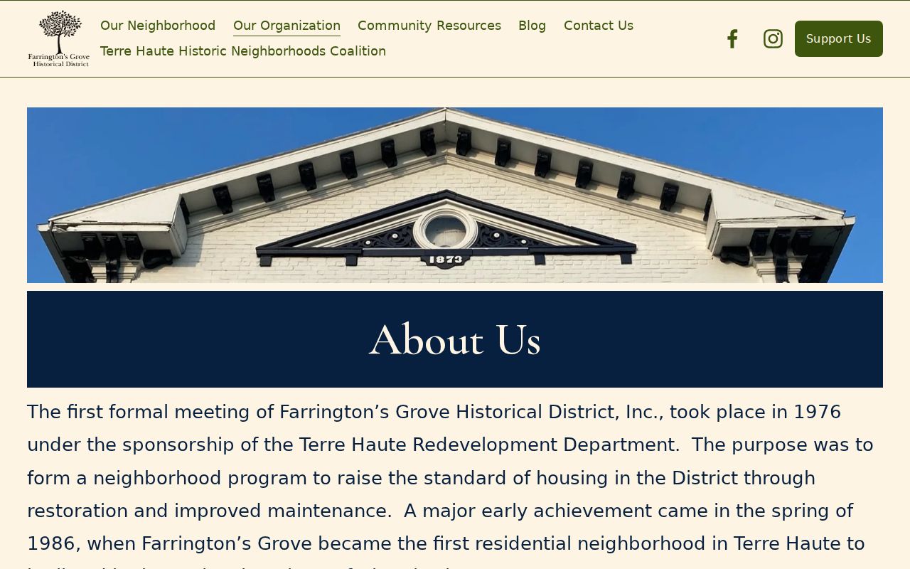
The page supports historic-district context, but it does not turn the district into a resident roster.
Compare Old Terre Haute Neighbor Blocks
The 1907 plat map is unusually rich. It combines streets, transit routes, industries, businesses, schools, parks, the fairgrounds, and other public features. Compare that setting with today's parcel map to explain why a lot once faced a rail corridor, works site, park, or institution.
Sanborn fire-insurance sheets can show building footprints, use, construction details, alleys, hydrants, and lot patterns for editions in 1886, 1892, 1896, and later variants through 1955. The Indiana State Library Sanborn holdings identify available Terre Haute sets.
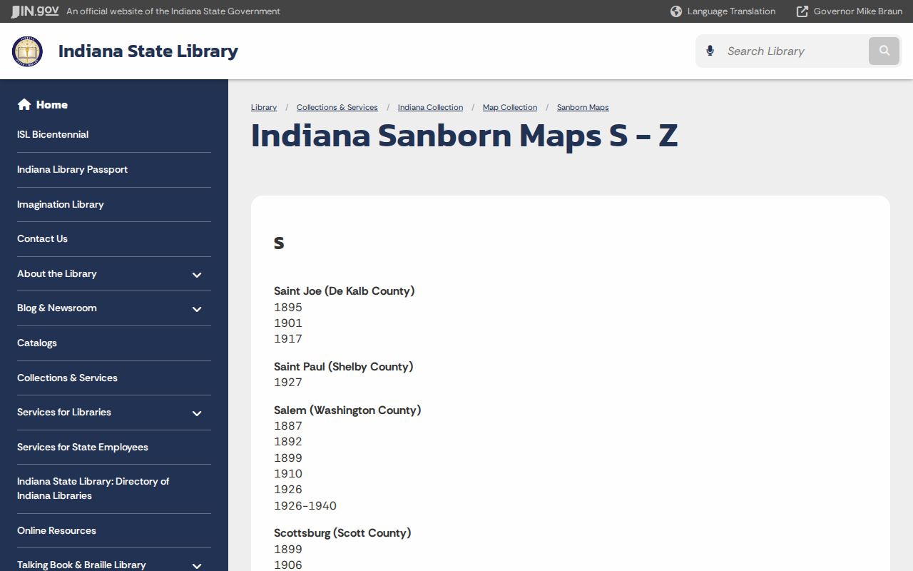
Pair a sheet with a dated city directory. The map explains the physical block; the directory may supply occupants for that year. Neither alone proves the identity of current neighbors.
Voter Records and Terre Haute Neighbors
Indiana Voters asks for first name, last name, date of birth, and county to return a person's registration and polling route. It is made for an exact identity check, not a public search of everyone on a Terre Haute block. A match does not guarantee present occupancy.
Indiana law withholds confidential-program and protected voter data. Historical poll books may survive in county, State Library, VCPL, or Historical Society holdings, but no complete public Vigo inventory was found. For civic geography, seek precinct maps, council districts, canvass material, meeting files, or registration statistics. Those sources can describe a block without exposing a protected address.
Note: A missing voter result may reflect status, protection, spelling, or county selection, so never use absence to identify a household.
Compare Terre Haute Neighbor Tools
Official sources and commercial neighbor tools serve different roles. County records come from a known custodian and have a stated tax year, map layer, or document date. Commercial services may merge filings, marketing data, phone data, and old addresses without showing how each item was matched.
| Source type | Best use | Main limit |
|---|---|---|
| County GIS and assessment | Nearby parcels, ownership, and legal geography | Owner is not always occupant |
| Public civic and archive records | District, meeting, and dated context | No complete current household list |
| Commercial category | Possible leads to verify at the source | Unknown merges, stale entries, and variable cost |
If a commercial profile is wrong, removal there does not correct Beacon, GIS, or another government source. Address an eligible government confidentiality need first, then use each commercial service's privacy process and save confirmation.
Protect Terre Haute Neighbors' Privacy
No inspected public source gives a complete block roster. Renters, relatives, children, guests, utility customers, delivery recipients, and people in confidential programs may be absent. Utility, medical, motor-vehicle, juvenile, sealed, expunged, and victim-confidential details remain restricted or inappropriate to publish.
Indiana's Address Confidentiality Program and voter address confidentiality rules protect eligible people and voters. Never work around those safeguards. For a public-record question, request an existing record with reasonable detail under IC 5-14-3 and accept lawful redactions.
Lawful use. Look up a block for civic curiosity, a public contact, or personal safety awareness. Never use neighbor records to watch, harass, intimidate, or harm anyone.