
Walk a Terre Haute Street
A useful Terre Haute street directory search starts with a single normalized address. Preserve directionals and street suffixes, then repeat the search with the historic spelling if the first pass fails. Ownership is public through county assessment and deed records. Occupancy is harder. A directory entry is dated, a voter result is limited to one registration, and neither proves who is at an address today.
- Enter the address in Vigo County Beacon. Copy the parcel ID, owner or taxpayer string, situs address, and legal description.
- Open the parcel in the county GIS map. Follow the road and adjacent parcel shapes to keep the search on the correct block.
- Use Indiana Voters only for a known person. Its public lookup asks for first name, last name, birth date, and county, not a street-wide export.
- Search the owner in Doxpop. Match the instrument and legal description before treating a deed party as connected to the same land.
- For an older household, consult Terre Haute city directories by year and read nearby street entries in their original context.
This flow separates owner, voter, and historical occupant evidence. That distinction matters throughout Terre Haute because a tax address may belong to an owner, trust, or business somewhere else.
Search Terre Haute Parcels
The Vigo County Assessor maintains assessments for eleven townships, while Harrison Township has a separate office. Its public route leads to Beacon. Search the street address first, then keep the parcel identifier for every later step. A parcel is the assessment and map unit, not a person or a postal address.
| Beacon field | Input | Best use |
|---|---|---|
| Search all | Name, address, or parcel ID | Broad first pass |
| Name | Owner or taxpayer text | Find parcels tied to a known name |
| Address | Street number and name | Anchor the Terre Haute street search |
| Parcel ID | County parcel number | Return to one exact mapped parcel |
| Alternate ID | Alternate assessment key | Bridge records that use another identifier |
Read the current tax year and mark blank modules as unavailable, not as proof that no record exists. The county sample report says its working file changes continuously and offers no reliability guarantee.
Map Terre Haute Street Parcels
The joint city and county GIS guide describes searches by name, address, and parcel ID. Its layers include parcels, roads, rights-of-way, blocks, lots, subdivisions, townships, aerial photos, soils, water features, and utility infrastructure. Use the map to confirm geometry and adjacency, not household membership.
The Terre Haute GIS page helps explain the available tools. The captured page below is one of the successful street-directory images assigned in the manifest.
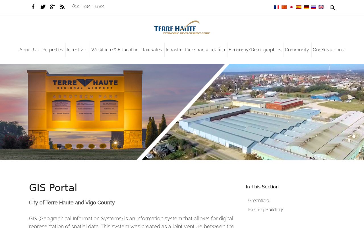
The guide shows why map layers should be paired with the assessor card: geometry supplies context, while the parcel record supplies the indexed assessment fields.
Terre Haute Engineering also links GIS and permitting routes. Its department page is shown in the next successful capture.

Engineering is the fallback when a city layer, address-keyed permit log, or update date is not visible online.
Read Terre Haute Address Keys
Several fields that look alike have distinct jobs. Copy each one exactly, including parcel punctuation, before moving from Beacon to GIS or Doxpop.
- Parcel
- The county assessment and mapping unit for a piece of land.
- Situs address
- The physical location shown by the assessor, which can differ from the tax mailing address.
- Plat
- A recorded map of lots, blocks, streets, or subdivisions.
- Criss-cross directory
- A directory arranged by street and house number instead of only by surname.
A legal description may outlast a street number. Match subdivision, lot, block, survey, or section-township-range language when a Terre Haute street has changed.
Terre Haute Records by Street
No one roll is a complete Terre Haute street directory. The best result comes from selecting the source whose key matches the question, then noting its date and custodian.
| Record Set | Keeper | What It Shows | Access |
|---|---|---|---|
| Assessment card | Vigo Assessor / Beacon | Owner or taxpayer, situs, legal description, values | Public portal; office fallback |
| GIS parcel map | County GIS / City Engineering | Parcel geometry, roads, rights-of-way, layers | Viewer, data hub, or GIS request |
| Recorded deeds | Vigo Recorder / Doxpop | Parties, instrument, date, legal description | Online index; charged images; older books at Recorder |
| Voter record | Indiana Voters / election officials | Status and polling route for a known person | Name, birth date, and county lookup; protected fields excluded |
| Permit or project file | Terre Haute Engineering / City Clerk | Existing address or project records | Department request; public street search not located |
| Historical directory | VCPL / State Library | Dated household, business, and address entry | Print, microfilm, scans, or library database |
When a public portal stops short, contact its keeper. Vigo County Recorder has the older books and images; Engineering can answer GIS or permit questions; the library and Historical Society hold local volumes that are not all indexed online. An Indiana Access to Public Records Act request should identify the agency, describe an existing record with reasonable detail, give a return address or email, and say whether inspection or a copy is sought. An in-person or oral request generally receives an acknowledgment or response within 24 hours. Mail, email, and fax requests generally receive one within seven calendar days. Those periods concern response, not final production.
Ask for the smallest useful date range and format. An agency may redact confidential fields and release the public balance, but it need not create a new street roster. Keep the request, receipt, cost estimate, and response together so the source trail remains clear.
Trace Terre Haute Street Deeds
The Vigo County Recorder is the custodian, while Doxpop supplies the online convenience search. Search modes observed were party name, document number, and book/page. Vigo index coverage begins in November 1996, while scanned images begin in January 2001. Earlier instruments remain in record books, microfilm, and office files.
Start with the current owner's exact indexed name. Open the deed and compare its legal description with the parcel card. Then search the seller as a prior buyer. A grantor conveys an interest; a grantee receives it. Deeds, mortgages, liens, trusts, and re-recordings have different legal effects, so never treat every instrument as a sale.
One local quirk deserves care. Doxpop reported a legal-description indexing issue for Vigo filings from October 7 through 25, 2019. A section-township-range or subdivision-lot search could miss an affected filing, so rerun the name search and verify at the Recorder.
Request Terre Haute Address Files
The city pages describe Engineering, Cityworks, and permitting, but research did not locate a public address-keyed permit export. Ask for an existing permit log, plan-review record, or GIS layer with a street number and date range. Indiana agencies do not have to create a new roster or answer a question by compiling data that does not already exist.
The Terre Haute GIS data request page provides the city-side request route.
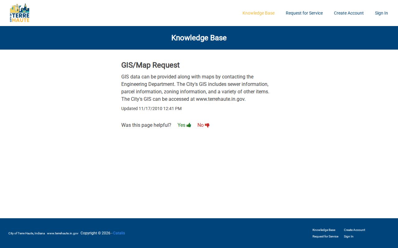
The request route fills a real access gap when the live map cannot expose a needed field or historic layer.
Bridge Old Terre Haute Addresses
No official citywide renumbering year was found. That absence is important. Do not force an old address into the modern grid. Compare adjacent years in city directories, Sanborn sheets, the 1907 plat, ordinances, and neighboring house numbers. Record the source year and confidence for each bridge.
Vigo County E911 is the best official address-verification authority located. Its page describes dispatch addressing and a continuous non-emergency contact. The successful manifest capture below shows that office route.
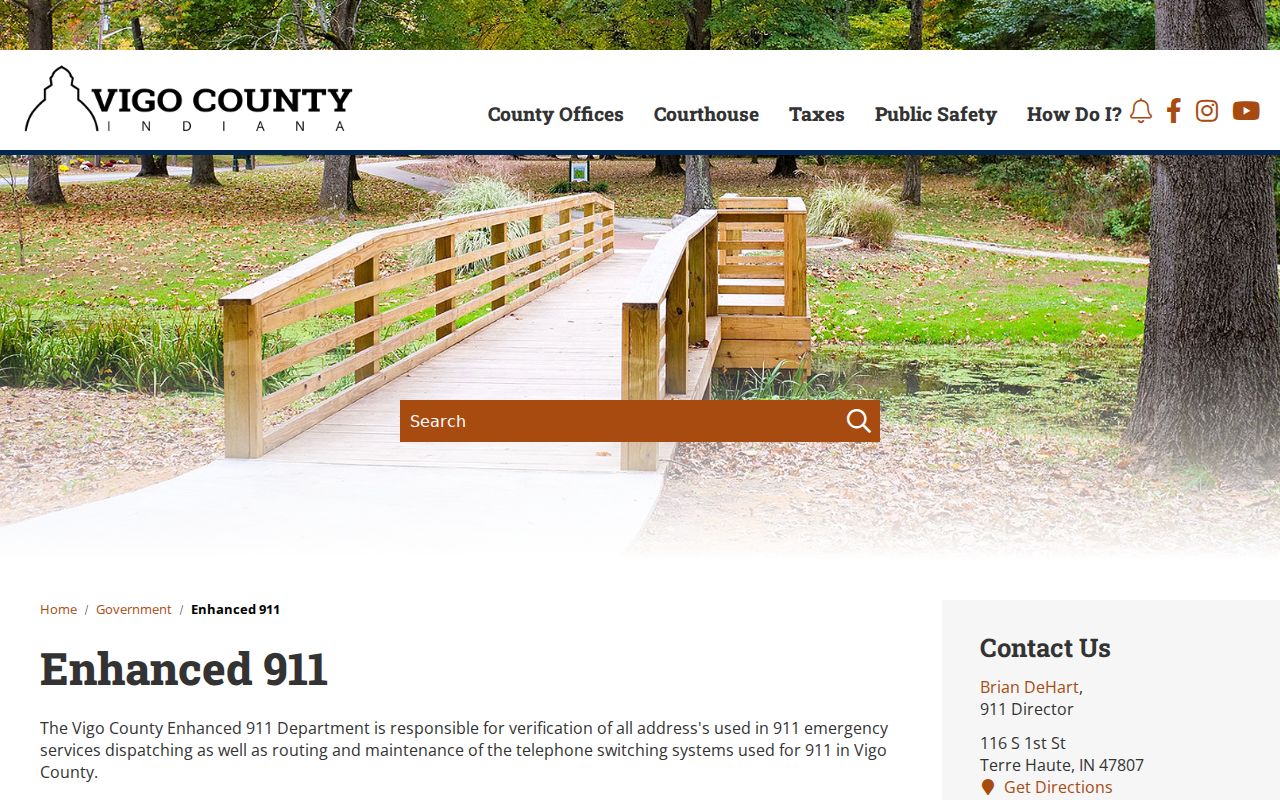
E911 can help distinguish an emergency-service address from a parcel ID, legal description, or mailing ZIP. For a full treatment of older printed volumes, use the Terre Haute city directory collections.
Check Terre Haute Civic Records
Indiana Voters can confirm registration status and a polling route for a person already known. Its fields are first name, last name, date of birth, and county. It is not a browsable street roster. Protected and confidential-program fields are withheld or redacted.
A negative result is not proof that nobody is connected with an address. The person may be unregistered, inactive, recorded in another county, entered under a variant, or protected. Keep voter evidence separate from parcel ownership and dated directory evidence.
Terre Haute Street Directory Limits
A street search cannot supply every renter, relative, boarder, utility customer, delivery recipient, or current occupant. BMV address data is restricted by federal law. Victim addresses, protected voter data, and confidential-program records must remain hidden. Parcel ownership also does not prove that an owner lives on the land.
Commercial neighbor tools may blend old and wrong data without showing the source date. Official rolls are narrower, but each has a named custodian and purpose. Use the assessor for assessment, Recorder for instruments, elections route for registration, and library for dated historical entries.
Lawful use. Use Terre Haute address records only for lawful personal research. Never use a street directory to stalk, harass, intimidate, or expose a protected person.
When a single person's identity is the real question, move from the address to two independent records and use the Terre Haute resident lookup workflow. Do not turn a partial match into a current-residence claim.