
Terre Haute Previous Resident Sources
Previous residents appear in layers, not in one complete roll. The Vigo County parcel card gives the present starting point. Recorded instruments lead from one owner to the owner before, while Terre Haute city directories and federal census schedules help turn an ownership history into a household history. Maps and permits explain changes to the site itself. Obituaries, cemetery entries, and probate files can close the trail when a former occupant died.
| Source | Years It Covers | Where Held | What It Shows |
|---|---|---|---|
| Doxpop Recorder index | November 1996 forward | Vigo County Recorder and Doxpop | Recorded parties, dates, and instruments |
| Doxpop document images | January 2001 forward | Doxpop | Scanned instruments when available |
| Terre Haute city directories | 1858 through 2020, varied runs | State Library, VCPL, and archives | Dated residents, firms, and addresses |
| Sanborn fire maps | 1886, 1892, 1896, and 1911-1955 variants | ISL, IU DataCORE, and LOC | Building footprint and use, not ownership |
| Federal census | Released under the 72-year rule | NARA and library databases | A household snapshot on one census date |
| Permits and project files | Existing records; online address index not found | Terre Haute Engineering | Construction or major work tied to a site |
| Obituary, cemetery, and probate sources | Event-specific | VCPL, Clerk, and Historical Society | Family, death, estate, and burial clues |
For a recent transfer, start with Beacon and Doxpop. For an older Terre Haute household, begin with the nearest available city-directory year and compare it with a released census. When an online index ends, the right next step is the Recorder's books or copies, State Library microfilm, the Vigo County Public Library, or the Historical Society. An online cutoff marks the limit of the portal, not the end of county records.
Start Terre Haute Previous Resident Research
The Beacon property search accepts a name, address, parcel ID, or alternate ID. Copy the current owner or taxpayer string, situs address, mailing address, parcel number, and legal description. Situs means the physical property address. The mail-to field can point elsewhere, so it cannot establish who occupies the house.
The legal description is the durable key. It may name a subdivision, lot and block, or section, township, and range. Street numbers can change, but the land description lets a researcher test whether two instruments concern the same ground. Copy punctuation and suffixes in the parcel ID exactly.
Beacon may also show values, transfers, exemptions, photos, sketches, or map modules. A blank module does not prove that no event exists. The Vigo County Assessor is the custodian to ask when a field or tax year needs explanation.
Note: A homestead-related field may support an occupancy clue, but it does not prove that a named person currently lives at the address.
Terre Haute Previous Resident Deeds
The Doxpop coverage table places Vigo County's online index start in November 1996 and its image start in January 2001. Those two dates matter. An indexed item from the late 1990s may have no scanned image, while an older deed can still exist in a Recorder book even though it cannot be found in the online service.
Use the Doxpop Recorder search for a party name, document number, or book and page. Open the result and verify the instrument type, recording date, parties, legal description, address or parcel reference, and image status. Doxpop is a search vendor. The Vigo County Recorder at 199 Oak Street remains the official source and can route copy requests or access to older material.
A recorded deed proves a recorded transfer, not residence. Trusts, estates, business entities, relatives, and vacant periods can interrupt a simple name-to-house story. Keep an owner timeline separate from the list of previous residents.
The successful Recorder captures show the search route used for Vigo instruments.
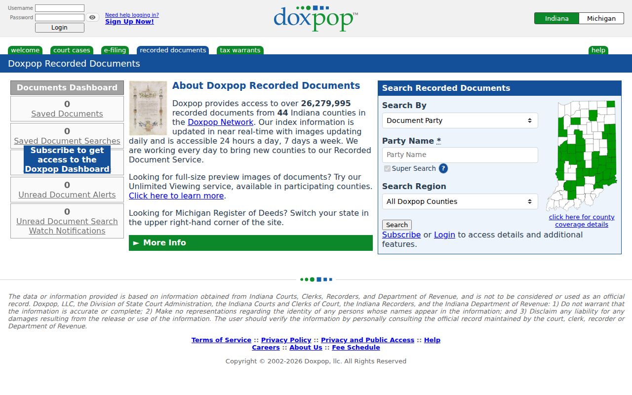
The screen is a starting index. A deed image or custodian copy remains the evidence to cite.
Trace Terre Haute Past Residents
A chain of title is the sequence of recorded transfers for the same land. Work backward from a known present parcel. Names alone are not enough, especially when a common surname, trust, or estate appears. Match the land description, document references, and dates at every turn.
- Pull the current parcel card. Save the owner string, parcel ID, legal description, and situs address.
- Search the current owner as a grantee, the person or entity receiving title. Find the purchase deed and note its seller.
- Search that seller as an earlier grantee. Confirm that the legal description matches before adding the transfer.
- Repeat the loop. Watch for re-recordings, name variants, trusts, estates, and corporations.
- At the portal cutoff, take the book, page, instrument, and legal-description clues to Recorder books, microfilm, or a copy request.
- Grantor and grantee
- The grantor transfers an interest; the grantee receives it.
- Chain of title
- The linked sequence of recorded transfers for one parcel.
- Legal description
- The formal land description that can remain stable when a street address changes.
- Criss-cross directory
- A directory arranged by address or phone rather than only by surname.
Map Terre Haute Previous Residents
Sanborn fire-insurance maps can date the footprint, materials, use, and nearby features of a building. Terre Haute runs include 1886, 1892, 1896, and variants from 1911 through 1955. These maps do not name the owner. They show what stood on or near the lot at the edition date.
The IU DataCORE Terre Haute collection offers hundreds of open-access map items.
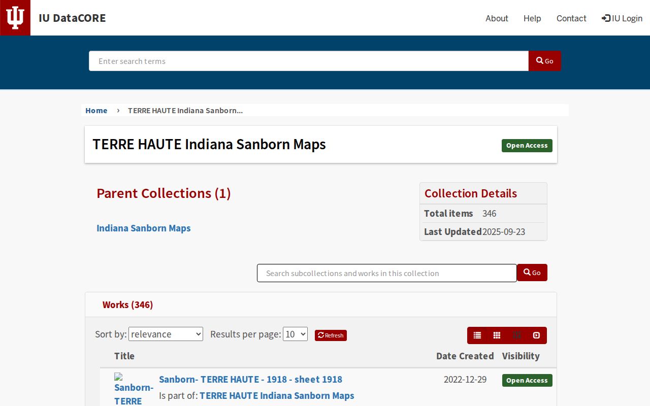
Compare a sheet's street names, lot lines, and adjoining buildings with the legal description and directory entry before assigning it to a house.
The 1907 Terre Haute plat map widens the view to streets, industry, transit, parks, the fairgrounds, and school context.
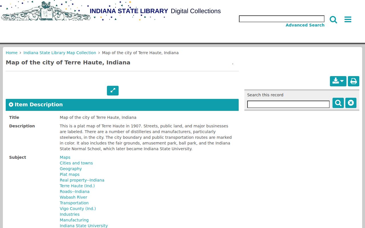
That setting can explain why an address appeared beside a mill, rail line, park, or institution in a past resident's record.
Bridge Terre Haute Resident Address Changes
No official source established one citywide Terre Haute renumbering year. Do not force an old number into a modern address. Instead, compare adjacent city-directory editions, Sanborn sheets, the 1907 plat, deed descriptions, and the numbers on both sides of the property.
For a hard case, ask Terre Haute Engineering about an existing permit, street, or GIS file. Vigo County E911 verifies dispatch addresses and may help identify the current official form. An ordinance or dated map can establish a name change. A gap in the directory is not proof that the house stood empty, since a spelling variant, missing edition, changed ward, or omitted resident can also cause it.
Note: Preserve each historic street spelling and number in research notes, then record the evidence that links it to the present parcel.
Close Terre Haute Resident Trails
A past household often disappears from directories because its members moved, died, or entered an estate process. The VCPL obituary index searches by name, year, and month, then returns newspaper and page details for a scan or microfilm request. Its request form accepts up to 15 items in one submission, with larger projects split into later batches.
Terre Haute cemetery sources add a local quirk. The archived CEM file uses section, division, lot, block, and grave fields, and its posted data was updated through December 10, 2012. The city cemetery history records the distinct histories of Woodlawn and Highland Lawn. Treat a burial field as a cemetery location, not a former street address.
Probate records held through the Vigo County Clerk can identify an estate event or heirs. Match the deceased person through dates, relatives, and the prior address. A shared surname alone is too weak to close a previous-resident trail.
Find Terre Haute Past Households
Owners are only half the story. Terre Haute city directories may list a householder, spouse or widow notation, occupation, employer, business address, phone, boarder, or residence marker. Fields vary by year and publisher. The full run and ways to read its abbreviations belong on the Terre Haute city directory page; for address history, use each edition as a dated snapshot.
Pair directory years with released census schedules. First list the address entries immediately before and after a census year. Then locate the street or enumeration area in the census and compare names, ages, relationships, and occupations. An enumeration district is the area assigned to one census taker. The census may show a fuller household, while the directory may show only a head, worker, or boarder.
- Search the address and surname across adjacent directory years.
- Record every resident marker, occupation, spouse note, edition, and page.
- Compare the closest released census snapshot without treating either source as current.
- Test gaps with spelling variants, maps, newspapers, deeds, and later editions.
VCPL's obituary index adds a newspaper title, date, and page clue. The Clerk's probate material, the Historical Society, and city cemetery records can supply estate, family, or burial endpoints. An obituary is family-provided historical evidence, so corroborate its address and relationships.
Lawful use. Research previous residents for house history, genealogy, and personal curiosity. Never use an address trail to watch, harass, intimidate, or harm a living person.